


Forest fire!
marciaz3 Tropical 3 Northwestern Ontario
17 years ago
Related Stories

PRODUCT PICKSGuest Picks: An Enchanted Forest Bedroom
Live out a fairy tale with heirloom-quality bedroom furniture, natural accessories and a sprinkle of gilt
Full Story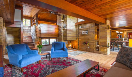
HOUZZ TVHouzz TV: This Dream Midcentury Home in a Forest Even Has Its Own Train
Original wood ceilings, a cool layout and, yes, a quarter-scale train persuaded these homeowners to take a chance on a run-down property
Full Story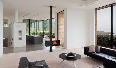
FIREPLACESUpdated Woodstoves Keep Home Fires Burning
Better technology means more efficiency than ever for modern woodstoves
Full Story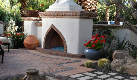
GARDENING GUIDESCreate a Fire-Safe Garden — With Style
Defend your home against wildfire with a well-planned mix of plants, materials and open space
Full Story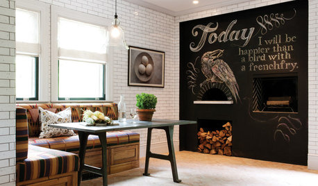
KITCHEN DESIGNKitchen of the Week: Chestnut and an Open Fire in Connecticut
Antique chestnut boards give a kitchen with a wood-burning oven vintage flair, balancing its modern amenities
Full Story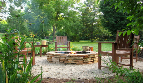
GARDENING AND LANDSCAPINGHow to Make a Stacked Stone Fire Pit
See how to build a cozy outdoor gathering place for less than $500
Full Story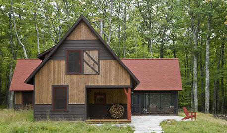
ARCHITECTUREDreaming Of: A House in the Woods
Designs for living among trees — in a real forest or where you live now
Full Story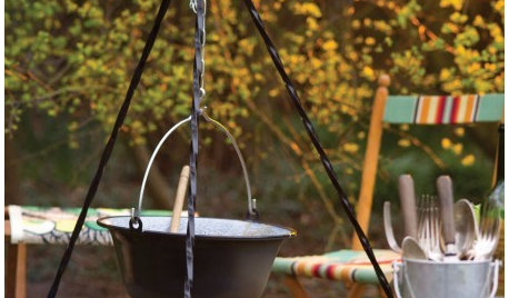
PRODUCT PICKSGuest Picks: Camp Out in Coziness at Home
No need to traipse to the far reaches of the forest. These camping goodies let you rough it in total domestic comfort
Full Story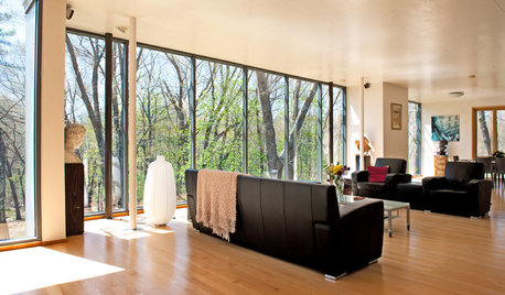
BEFORE AND AFTERSMy Houzz: A 1950s Bungalow Grows Up and Greens Out
Beauty and energy efficiency go hand in hand in this expanded and renovated Massachusetts forest home
Full Story
GARDENING GUIDESBackyard Birds: Orioles Return After Spending Winter in the Tropics
These colorful songbirds prefer woodlands and forest edges, but they’ll visit yards with fruit-producing trees and shrubs
Full StoryMore Discussions
Crazy_Gardener
northspruce
Related Professionals
Danbury Landscape Architects & Landscape Designers · Marco Island Landscape Architects & Landscape Designers · Washington Landscape Architects & Landscape Designers · Gainesville Landscape Contractors · Arlington Landscape Contractors · Framingham Landscape Contractors · Fridley Landscape Contractors · Gaithersburg Landscape Contractors · Saint George Landscape Contractors · Saint Paul Landscape Contractors · Vashon Landscape Contractors · Fort Myers Window Contractors · Central Islip Window Contractors · Meridian Window Contractors · Revere Window Contractorsalalbertaz2b
Laurie_z3_MB
valleyrimgirl
marciaz3 Tropical 3 Northwestern OntarioOriginal Author
echoes_or
marciaz3 Tropical 3 Northwestern OntarioOriginal Author
northspruce
marciaz3 Tropical 3 Northwestern OntarioOriginal Author
northspruce
garden_chicken
marciaz3 Tropical 3 Northwestern OntarioOriginal Author
luv2gro
marciaz3 Tropical 3 Northwestern OntarioOriginal Author