


Red Flag Fire Warning Sat 8/11 for NW/WC OK
Okiedawn OK Zone 7
11 years ago
Related Stories
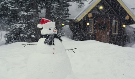
LIFEShare Your Winter Storm Jonas Photos and Survival Tips!
Let’s see your pictures and hear your ideas on how you’re keeping your house warm and staving off cabin fever
Full Story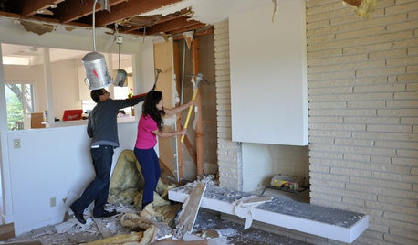
REMODELING GUIDESWisdom to Help Your Relationship Survive a Remodel
Spend less time patching up partnerships and more time spackling and sanding with this insight from a Houzz remodeling survey
Full Story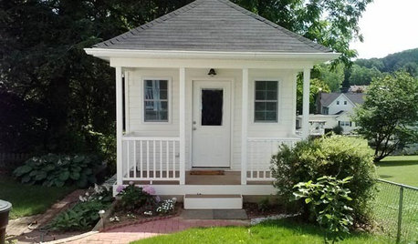
STUDIOS AND WORKSHOPSCreative Houzz Users Share Their ‘She Sheds’
Much thought, creativity and love goes into creating small places of your own
Full Story
BATHROOM DESIGNSweet Retreats: The Latest Looks for the Bath
You asked for it; you got it: Here’s how designers are incorporating the latest looks into smaller master-bath designs
Full Story
DECLUTTERINGEscape the Inheritance Trap: What to Do With Sentimental Pieces
Too meaningful to toss but too hideous, precious or unusual to display? These ideas can help
Full Story
BATHROOM DESIGN14 Design Tips to Know Before Remodeling Your Bathroom
Learn a few tried and true design tricks to prevent headaches during your next bathroom project
Full Story
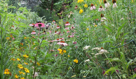
GARDENING FOR BUTTERFLIES3 Ways Native Plants Make Gardening So Much Better
You probably know about the lower maintenance. But native plants' other benefits go far beyond a little less watering and weeding
Full Story
MOST POPULARThanksgiving Tales: When the Turkey Tanks
Houzz readers prove adept at snatching victory from the jaws of entertaining defeat
Full Story
MOST POPULARContractor Tips: Top 10 Home Remodeling Don'ts
Help your home renovation go smoothly and stay on budget with this wise advice from a pro
Full StoryMore Discussions

Adella Bedella
Okiedawn OK Zone 7Original Author
Related Professionals
Norton Shores Landscape Architects & Landscape Designers · Taylorsville Landscape Architects & Landscape Designers · Milford Landscape Contractors · Azalea Park Landscape Contractors · Bristol Landscape Contractors · Davis Landscape Contractors · Lake Saint Louis Landscape Contractors · Northport Landscape Contractors · Oak Harbor Landscape Contractors · Stony Brook Landscape Contractors · Vancouver Landscape Contractors · Weymouth Landscape Contractors · Irvington Landscape Contractors · Littleton Decks, Patios & Outdoor Enclosures · Parlier Decks, Patios & Outdoor EnclosuresAdella Bedella
Okiedawn OK Zone 7Original Author