


Got smoke?
david52 Zone 6
11 years ago
Related Stories
HOUSEKEEPINGBefore You Roast Those Chestnuts, Make Sure You've Got a Clean Chimney
Here's how to ensure your chimney is safe for holiday gatherings by the fire
Full Story
ENTERTAININGGot Hand-Me-Down Dinnerware? Make a Memorable Meal
They might be mismatched and not your style, but those inherited plates and forks can help bring meaning to your table
Full Story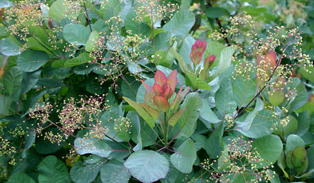
LANDSCAPE DESIGNGreat Design Plant: Old Fashioned Smoke Bush
Balance garden color with this shrub's cool blue-green foliage, luminous when backlit and sporting yellow-green flowers in spring
Full Story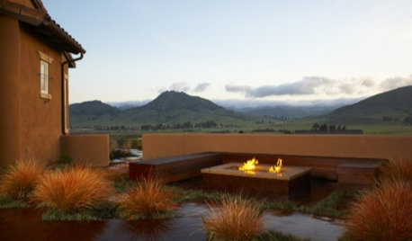
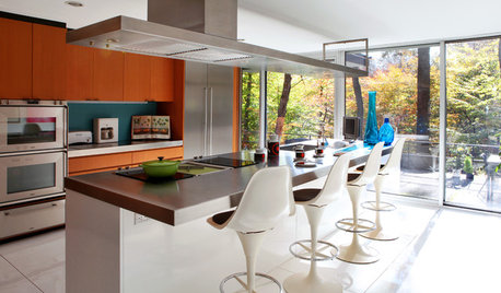
KITCHEN APPLIANCESLove to Cook? You Need a Fan. Find the Right Kind for You
Don't send budget dollars up in smoke when you need new kitchen ventilation. Here are 9 top types to consider
Full Story
HOME TECHWhy Google Just Paid $3.2 Billion for a Company That Makes Thermostats
Smart home technology just got a new champion — and everyone is speculating about the reasons
Full Story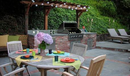
MOST POPULAR8 Ways to Improve Your Grill Setup
Rethinking the old grilling station? Here’s how to pack more function and style into your backyard cooking zone
Full Story
TRIMHow to Fix a Mirror-Above-the-Mantel Dilemma
Got an unmovable mirror over your fireplace? Use trim to turn it into a feature that will turn heads
Full Story
KITCHEN DESIGN8 Beautiful Ways to Work Glass Into Your Kitchen Cabinets
Lighten up in the kitchen with see-through or glossy panes that bounce the sun's rays or show you've got nothing to hide
Full Story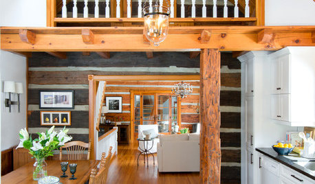
CABINSA Quirky Ontario Cabin Gets a Lighter Touch
Many eccentricities got to stay during this home’s redesign, but now they’re joined by better lighting, looks and functionality
Full Story
mstywoods
Skybird - z5, Denver, Colorado
Related Professionals
Surprise Landscape Architects & Landscape Designers · Burien Landscape Contractors · Cliffside Park Landscape Contractors · Ellensburg Landscape Contractors · Eustis Landscape Contractors · Hoover Landscape Contractors · La Vista Landscape Contractors · Mission Bend Landscape Contractors · Muttontown Landscape Contractors · New Berlin Landscape Contractors · Setauket-East Setauket Landscape Contractors · Wentzville Landscape Contractors · New Carrollton Landscape Contractors · Fort Lee Solar Energy Systems · Hemet Solar Energy Systemsdavid52 Zone 6Original Author
mayberrygardener
mstywoods
Skybird - z5, Denver, Colorado
mayberrygardener
Skybird - z5, Denver, Colorado
highalttransplant
treebarb Z5 Denver
david52 Zone 6Original Author
treebarb Z5 Denver
steviewonder
keen101
david52 Zone 6Original Author