


Anything you want to know can be found . . .
digit
15 years ago
Sort by:Oldest
Comments (19)
Related Stories
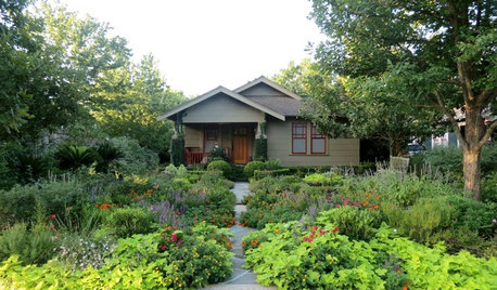
FRONT YARD IDEAS12 Surprising Features Found in Front Yards
Fire, water, edibles and wildlife habitats are just a few of the elements you can consider adding to your entryway landscape
Full Story
WORKING WITH PROS10 Things Decorators Want You to Know About What They Do
They do more than pick pretty colors. Here's what decorators can do for you — and how you can help them
Full Story
LIGHTING12 Fun Light Fixtures Made From Found Objects
Trash became treasure in these one-of-a-kind lights. See if they inspire your own DIY pendant project
Full Story
REMODELING GUIDESOne Guy Found a $175,000 Comic in His Wall. What Has Your Home Hidden?
Have you found a treasure, large or small, when remodeling your house? We want to see it!
Full Story
REMODELING GUIDESYou Won't Believe What These Homeowners Found in Their Walls
From the banal to the downright bizarre, these uncovered artifacts may get you wondering what may be hidden in your own home
Full Story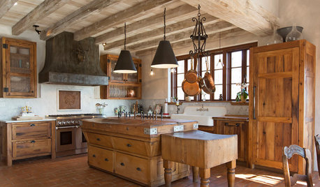
RUSTIC STYLEKitchen of the Week: Found Objects and Old Italian Farmhouse Charm
A homeowner and her cabinetmaker create a personal version of European-inspired comfort and simplicity
Full Story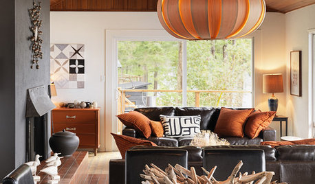
ACCESSORIESFound Objects: The Most Natural Decor of All
They're beautiful, plentiful and best of all, free. See how to turn surprise finds into uniquely personal displays
Full Story
COLORBlack and White and Found All Over: Zebra Print
Don't Forget, Zebra Pattern is Made With Neutrals — Add it Anywhere!
Full Story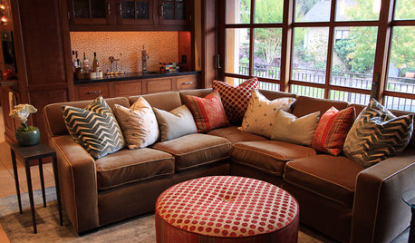
DECORATING GUIDESBulletproof Decorating: Upholstery That Stands Up to Anything
Kids and pets are no match for fabrics as durable as these, which meet higher style standards than ever
Full Story
WHITEWhat to Know Before You Paint Your Walls White
A coat of white paint can do wonders in one room and wreak havoc in another. Here are tips for using the popular hue
Full StoryMore Discussions

Skybird - z5, Denver, Colorado
jclepine
Related Professionals
Ferndale Landscape Architects & Landscape Designers · Zion Landscape Architects & Landscape Designers · Canton Landscape Contractors · Waterbury Landscape Contractors · Desert Hot Springs Landscape Contractors · Golden Landscape Contractors · La Mirada Landscape Contractors · North Lauderdale Landscape Contractors · Vineyard Landscape Contractors · Hemet Solar Energy Systems · Lake Mary Solar Energy Systems · Mokena Solar Energy Systems · Moorpark Solar Energy Systems · Rehoboth Solar Energy Systems · Sun Prairie Solar Energy Systemsbillie_ladybug
digitOriginal Author
polygonum_tinctorium
billie_ladybug
digitOriginal Author
Skybird - z5, Denver, Colorado
digitOriginal Author
greenbean08_gw
polygonum_tinctorium
billie_ladybug
digitOriginal Author
david52 Zone 6
digitOriginal Author
david52 Zone 6
digitOriginal Author
polygonum_tinctorium
billie_ladybug