

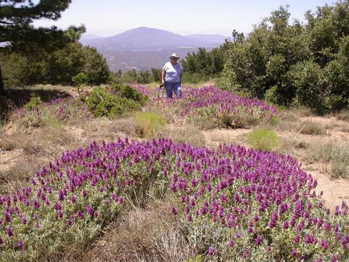
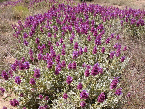
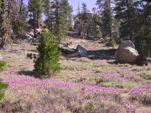
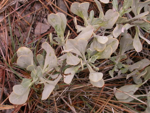
Salvia pachyphylla in California
ccroulet
15 years ago

Sort by:Oldest
Comments (7)
Related Stories
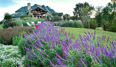
GARDENING GUIDESGreat Design Plant: Salvia Leucantha
Soft, velvety purple spikes gracefully arch over the gray-green foliage of Mexican bush sage in spring through fall in western U.S. gardens
Full Story
GARDENING GUIDES10 Top Native Plants for Southern California Gardens
Enjoy a fuss-free, water-wise garden by growing plants naturally in tune with the climate and wildlife of Southern California
Full Story
CALIFORNIA GARDENINGCalifornia Gardener's November Checklist
In a season of traditions, let's take advantage of California's familiar — as well as quirky — planting opportunities
Full Story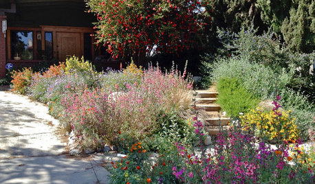
INSPIRING GARDENSNative Plants Bring 10 Southern California Front-Yard Gardens to Life
Rare plants, rain gardens and wildlife habitats are just a few of the features showcased on the 2016 Theodore Payne Native Plant Garden Tour
Full Story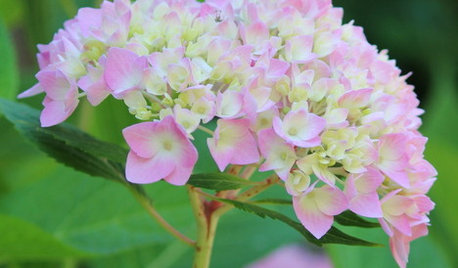
GARDENING GUIDESCalifornia Gardener's June Checklist
Update your hydrangeas, catch up on tomatoes and more ways to enjoy your California garden in June
Full Story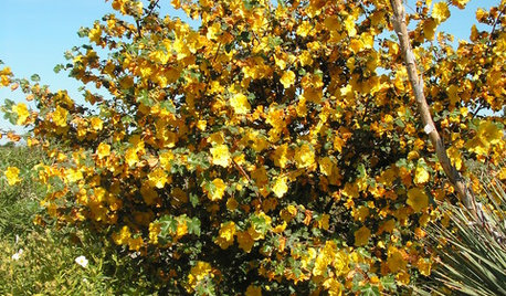
GARDENING GUIDESGreat Native Plant: California Flannel Bush
Forget watering once this bush is established. But the yellow burst in spring and summer, you'll remember
Full Story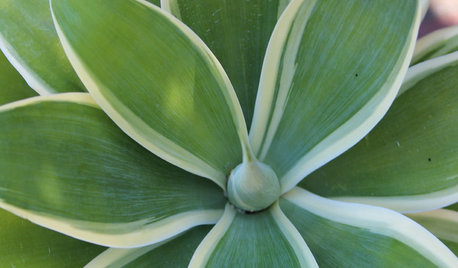
CALIFORNIA GARDENINGCalifornia Gardener's April Checklist
Outsmart droughts with water-savvy plants and sustainable approaches that suit the landscape
Full Story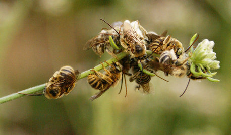
GARDENING GUIDESGreat Design Plant: California Buckwheat Pleases Pollinators
Beneficial insects go wild for this drought-tolerant plant’s summer flowers, while seed heads feed critters foraging in the cold
Full Story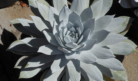
GARDENING GUIDESGreat Design Plant: Dudleya, a Dramatic California Native
Set up this succulent in native conditions and see just how little care it needs to thrive in the landscape
Full Story
REGIONAL GARDEN GUIDESCalifornia Gardener's March Checklist
Give natives and tropicals a well-deserved spotlight — plus, discover an easy herb that keeps on giving
Full Story
dicot
ccrouletOriginal Author
Related Professionals
Hyattsville Landscape Architects & Landscape Designers · Palm Springs Landscape Architects & Landscape Designers · Alexandria Landscape Contractors · Cerritos Landscape Contractors · El Mirage Landscape Contractors · Fruit Heights Landscape Contractors · Maywood Landscape Contractors · Middletown Landscape Contractors · Norristown Landscape Contractors · Pomona Landscape Contractors · Rockwall Landscape Contractors · Tewksbury Landscape Contractors · Palos Hills Landscape Contractors · Brunswick Siding & Exteriors · Kannapolis Siding & Exteriorswardda
lorna-organic
ccrouletOriginal Author
wardda
ccrouletOriginal Author